Data Visualisation

The Irish Property Price Register – Geocoded to Small Areas

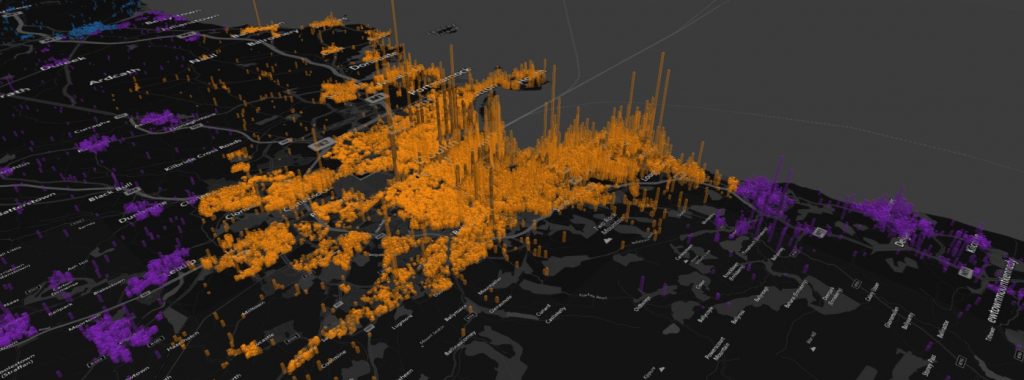
In this post, geocoded data for all property price sales in Ireland from 2012-2017 is available. Data is sourced on the Irish Property Price Register and geocoded using the Google geocoding script in Python. All of the GPS latitude/longitude coordinates are further tied to census small area and electoral division boundaries.

The Irish Property Price Register – Geocoded to Small Areas Read More »

Cyclist in the rain. Blog about python scraping data from wunderground rainfall data.

Analysis of Weather data using Pandas, Python, and Seaborn

The most recent post on this site was an analysis of how often people cycling to work actually get rained on in different cities around the world. You can check it out here. The analysis was completed using data from the Wunderground weather website, Python, specifically the Pandas and Seaborn libraries. In this post, I will

Analysis of Weather data using Pandas, Python, and Seaborn Read More »